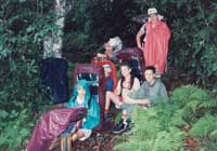
The crew on the Appalachian Trail,
Great Smoky Mountains National Park,
TN-NC
Planning High Adventure
Superactivities
"Where do we want to go?"
A good method for determining places
within a short range is to take a map of
the United States or North America and
mark your location with a dot. Then make
a circle with a radius of 600
miles--this is how far you could safely
drive in one day following BSA tour
permit guidelines for trip planning (a
maximum of 12 hours of driving per day,
under 600 miles per day on interstate
highways). Every place inside your
circle is a one-day-to-get-there trip.
Make a second circle with a radius of
1,200 miles to see how far you could get
in two days. All of a sudden, faraway
places seem a little closer. If you can
afford to travel by boat, train, or
plane, your circle of possibilities can
grow dramatically. Call the map the
Circle of Possibilities. Then see if you
can get the resources to get
there.